Let us first examine what the Voynich map does
not have that others of its time very often did.
 |
| No tents, camels, men riding camels, banners, or kings |
 |
No depictions of aboriginal people
|
 |
| No insignia, royal seal, or coat of arms |
 |
| No monstrous humans from explorers' legends |
 |
| No artillery |
 |
| No portraits of cartographers or other learned men |
 |
No angels and no Christ figure
|
 |
| No recognizable continents |
 |
| No sea monsters |
 |
| No meridians, degrees, or compass |
 |
No ships
 |
| No easily discernible title or author |
|
 |
| No swords or gentlemen with swords |
 |
| No armies, wars, or invasions |
And yet it manages to be indeed a map and a highly decorative one at that, even beautiful. But why would the authors not include a single graphic that maps of this time usually have? Perhaps the authors were nothing like the men who usually made maps. Perhaps they were not men at all.
Lace Lattices
Lace is hugely varied in its patterns, but often it begins on a lattice (left), which creates a sort of skeleton for the whole. While the Voynich map's rosettes (middle) differ from the lace sample on the right, it is structured on a grid of circles with connectors, as if on a lattice for lace-making, contrasting greatly with a typical map of the time, such as the one below.
In fact, if you wanted to make the coolest pinball machine ever, you'd design it according to the Voynich Rosette Map and have the ball follow the waterways and mountains and caves and bump away from castles and such. It looks nothing like a conventional map of its time. Here are some more examples.
And here again is the Voynich between a framework for and then some finished Vologda lace.
And here of course is some Finno-Baltic embroidery.
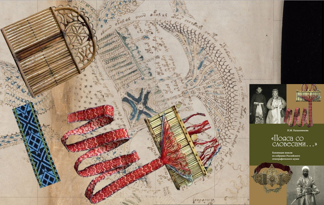
Associating the manuscript with women's craft opened me up to ridicule among researchers. However, I hold that its origins are still clear to those willing to see it.
The artists of the map and writers of the manuscript drew upon the knowledge base they'd had on hand for centuries. Cord braiding, embroidery, lace making, chant-singing, timing by the seasons, oddly textured rocks in their region, wind and current patterns, and the outside walls of castles, towns, and monasteries but not necessarily the inside. These were the people on the margin who were supposedly not to have made a trace. They did, anyway.
The Topography
 |
As you can see, the water is very green,
as depicted in the Voynich manuscript. |
If it IS about the Ruskeala caves in particular, and I have yet to come up with a closer match to the topography depicted, then the time period was quite obviously before the roofs collapsed during mining. Hence, the underground passageways depicted in the mss. The map does indeed show cliffs or canyon walls.
The Sofporog-Sortavala connection
This is a map showing the distance between Sofporog and Sortavala: 713 km. Ruskeala is about midway between these two points.
A Finnish sacred cave
Pirunkirkko ("Devils Church") replete with little rocky passageways is also in Karelia, NW Russia.
Some of the pothole clusters that can be found all over Finland:
Tervalampi hosts archaeological news for this area. Could the route between Sortavala and Sofporog hold more treasures of this kind and perhaps dating during the time of the Voynich manuscript? Has anyone done a dig at Pirunkirkko or at
Ruskeala (Rääkkylä, Itä-Suomi) or any archaeological dive?
Ruskeala Cave seems a place from another world.
Of course I don't think a bunch of naked Voynich women dug these wells. I do think, however, that they were figuring out that the various water systems could be connected--that water from, say, Ella's place could come up in Saisa's back yard--and that this water was mineral-rich and in various ways healthful if merely for the fact that it made childbirth more convenient and sanitary, helping both the infant and the mother live through the ordeal.
The property on which the well is situated is owned by
Julia of Ruskeala, who runs a resort of sorts. Here's Julia...I believe. To find her, go north from Sortavala. per the Voynich manuscript's map, and turn left at the MILK sign, which I don't think made it onto the map. She "indeed sells goat milk and also pork from 'happy organic pigs' that indeed spend their life enjoying the process and then get shot. The sign also invites to partake in cliff climbing and rafting, and advertises to the
banya" (spa/bath/sauna). Go figure.
Blog Table of Contents


 And here again is the Voynich between a framework for and then some finished Vologda lace.
 And here of course is some Finno-Baltic embroidery.


As i read your article through and through, it made all the more sense to me and showed that women were indeed of some worth and some capability back then. That being said, i hope we can permanently put behind us the female supremacy culture that Western women have plagued us for too long already. I also think the Voynich manuscript may aid in this goal.
ReplyDeleteHi Claudette
ReplyDeleteI have a theory of this page which differs markedly from yours. This is hardly surprising as almost everyone's theory differs markedly from everyone else's. Nevertheless I find it useful to look at the theory of others and you have mentioned some interesting things.
I would argue that there are no tents, camels or men riding camels as that part of the world is not feature as the page does not represent a mappa mundi, but is on a much smaller scale. Again this would also explain the absense of drawings of aboriginal people.
I agree there are no insignia, royal seal, or coat of arms. However I do believe the centre right rosette represents the crown of the Dukes of Milan presented as though from above. It is also possible that we have crescent moons drawn in a circle in the top left rosette and these moons might be associated with a coat of arms.
I would argue that there are no recognisable continents for reasons again of scale as I believe the page illustrates a small part of the European continent. However I think in the very Top Right corner there is a T/O map which represents the continents of Asia, Africa and Europe.
Again I think there are no monstrous humans from explorers' legends as the map is not a mappa mundi and so given the scale and location none would be featured.
I share the view that in the bottom left we see compass pointing North and that we see two suns, one in the top left rising in the east and one in the bottom right setting in the West.
I would argue that there is artillery around the central rosette and coming out of the top left rosette, referred by some as "pipes".
I think the absense of sea monsters or ships is, because most of the water illustrated represents lakes or rivers. I would say there is only sea represented in top right corner and to a lesser extent in bottom right corner.
I think the absense of most of the other details you mention is, because we are dealing with a small scale map and not a mappa mundi.
To be clear, I believe the page represents a journey from Lombardy to the Council of Basel and back. I believe it is akin to a strip map of a circular journey and the central rosette represents the Pope and not a place.
All the Best
Mark